Flooding on the Mississippi in St. Paul, MN
In late June 2024, the Mississippi River reached flows of 115,000 cubic feet per second. Below is a timelapse of the Mississippi River near St. Paul that was taken from a USGS river gage from June 23rd to July 7th, 2024. If you would like to see more images, click this link.
The flood peaked at 4:00 AM on Saturday June 29th, 2024; this is when the flood reached its highest height. For rivers, we call the height of the water the gage height. Using the Flood Inundation Mapper, estimate the peak height of the river by adjusting the gage height until it matches the flooded area in the video.
What is a 100-yr Flood?
A flow of 115,000 cubic feet per second corresponds to a ~18-yr flood. Meaning, there is a 1-in-18 chance that this flow or higher will occur in the river near St. Paul. That means a 100-yr flood is a flood that has a 1-in-100 chance to occur. Below is a graph of the highest flood for each year of record. On the y-axis, each flood corresponds to a different #-yr flood.
Simulating Floods
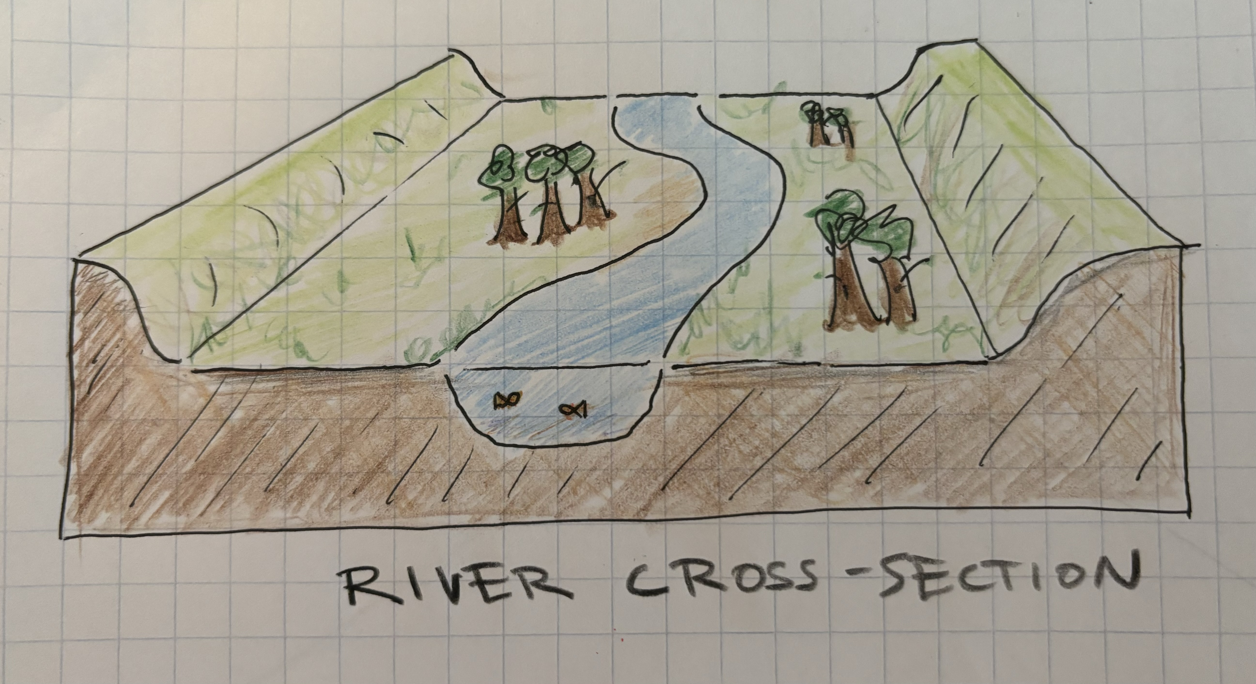
Simulating floods is just like a game of chance. We will use a random number generator, to select the highest flow of the year. Below, we will simulate annual flooding on a hypothetical river by hitting the big red button. We will view the river's cross-section, which is just a slice image that we take across the river.

